
Key Highlights
- November 2, 2025: ISRO launches CMS-03 (GSAT-7R) aboard LVM3-M5 rocket from Sriharikota—India’s heaviest communication satellite at 4,400 kg to be placed in Geosynchronous Transfer Orbit (GTO) from Indian soil
- ₹1,589 crore investment by Ministry of Defence; dedicated replacement for GSAT-7 (Rukmini) operational since 2013, with 7-year mission life providing secure naval communications
- Multi-band capabilities (UHF, S, C, Ku) supporting 50+ naval ships and aircraft simultaneously with enhanced jamming resistance across 2,000 nautical mile Indian Ocean footprint
- Maritime Domain Awareness: Integrates with 46 coastal radar stations, 52 ISR satellites (by 2026), IMAC data fusion center in Gurugram tracking 30,000-40,000 merchant ships
- Strategic significance: Countering China’s 350+ ship PLA Navy and “String of Pearls” encirclement; enabling India as Net Security Provider under SAGAR vision in Indo-Pacific
India’s Shield Over the Seas
On November 2, 2025, at 11:30 AM GMT, India’s heavy-lift LVM3-M5 rocket will thunder off the launchpad at Satish Dhawan Space Centre, Sriharikota, carrying a precious cargo: CMS-03 (GSAT-7R)—the Indian Navy’s next-generation military communication satellite.
Weighing 4,400 kg (some sources cite 2,650 kg for the satellite alone), this will be the heaviest communication satellite ever launched to Geosynchronous Transfer Orbit (GTO) from Indian soil—a testament to both ISRO’s engineering prowess and India’s growing space-defense integration.
This isn’t just another satellite—it’s a ₹1,589 crore strategic asset funded by the Ministry of Defence, designed to replace the aging GSAT-7 (Rukmini) that has served the Indian Navy since September 2013. With upgraded multi-band communication (UHF, S, C, Ku bands), enhanced jamming resistance, and capacity to connect 50+ warships and aircraft simultaneously, CMS-03 represents a quantum leap in India’s maritime security architecture.
This launch symbolizes India’s commitment to Maritime Domain Awareness (MDA)—the ability to understand and protect everything in the maritime domain that could impact security, safety, economy, or environment. In an era where China’s PLA Navy (350+ ships) aggressively patrols the Indian Ocean, grey-zone tactics threaten sea lanes, and 90% of India’s trade transits by sea, space-based communications are no longer optional—they’re existential.
Understanding Maritime Domain Awareness (MDA)
Definition and Strategic Importance
Maritime Domain Awareness is defined by the International Maritime Organization (IMO) as the “effective understanding of anything associated with the maritime domain that could impact security, safety, economy, or environment”. cimsec
For India, with its 7,516.6 km coastline, 1,382 islands, and 2.02 million sq km Exclusive Economic Zone (EEZ), MDA isn’t abstract—it’s survival. The Indian Ocean Region (IOR) carries 80% of global seaborne oil trade and hosts some of the world’s busiest shipping lanes. maritimeindia
Why MDA Matters:
- Economic lifeline: 90% of India’s trade by volume, 70% by value via sea routes
- Energy security: Gulf oil imports transiting through vulnerable choke points
- Threats: Maritime terrorism (26/11 Mumbai attacks), piracy (Gulf of Aden), smuggling, illegal fishing, submarine incursions
- Strategic competition: China’s “String of Pearls” (Gwadar, Hambantota, Djibouti) encircling India
Core MDA Components:
- Surveillance: Monitoring vessel movements, detecting threats
- Communication: Secure real-time links between assets
- Navigation: Precise positioning for operations
As experts note: “Without understanding maritime domain, one cannot protect it from innumerable threats”.
India’s Multi-Layered Maritime Surveillance Infrastructure
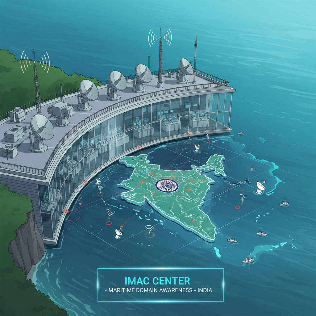
Integrated Coastal Surveillance System (ICSS)
Established after the 2008 Mumbai terror attacks (26/11)—when 10 terrorists infiltrated via sea route—India built a comprehensive coastal surveillance network.
Coastal Surveillance Network (CSN):
- 46 static radar stations along 11,098 km coastline providing gap-free, 24/7, all-weather coverage
- Detecting small vessels (trawlers, dinghies, fishing boats, buoys) often invisible to traditional systems
- Equipped with: Optical sensors, electro-optical sensors, thermal imagers, cameras, Automatic Identification System (AIS), meteorological systems, VHF radios
Regional Expansion:
Data Integration Architecture:
Remote Operating Stations → Four Joint Operations Centres (Mumbai, Kochi, Visakhapatnam, Port Blair) → Information Management and Analysis Centre (IMAC), Gurugram
IMAC (inaugurated November 2014) is the nodal agency for maritime data fusion:
- Tracks 30,000-40,000 merchant ships transiting Indian Ocean using 74 AIS receivers
- Inputs from: Vessel Traffic Management Systems (VTMS), Long Range Identification and Tracking (LRIT), Fishing Vessel Monitoring System, satellite imagery
- Functions under National Security Adviser (NSA); joint initiative of Indian Navy, Coast Guard, Bharat Electronics Ltd.
- National Command Control Communications and Intelligence Network (NC3IN) linking 51 operational centers of Navy and Coast Guard
Information Fusion Centre – Indian Ocean Region (IFC-IOR):
- Set up within IMAC in December 2018
- Regional information coordination body with 21 partner countries, 22 multi-national agencies
Space-Based Surveillance
RISAT Series (Synthetic Aperture Radar):
- All-weather, day-night imaging capability; sub-meter resolution
- RISAT-2BR series providing real-time imagery on vessel movements
Cartosat-3:
EMISAT:
Space-Based Surveillance-3 Scheme:
- Ambitious plan deploying 52 ISR (Intelligence, Surveillance, Reconnaissance) satellites by 2026
- Persistent, real-time surveillance net significantly enhancing maritime reconnaissance
NavIC (Navigation with Indian Constellation):
- Indigenous GPS providing accurate positioning for weapons guidance, vessel tracking
- NVS-02 launched January 2025 as second-generation navigation satellite
GSAT-7 (Rukmini): The Foundation (2013-2025)
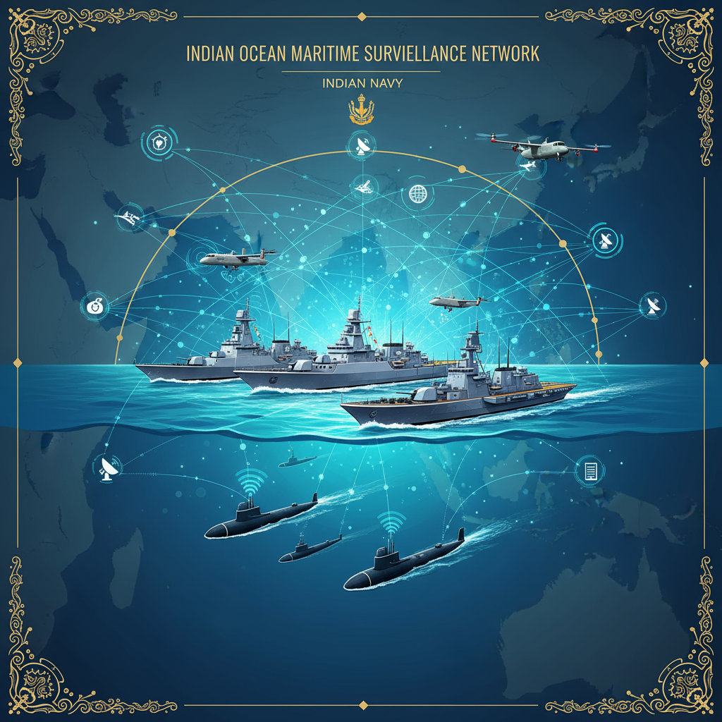
Legacy and Achievements
Launched August 30, 2013 aboard Ariane 5 ECA from French Guiana, GSAT-7 (nicknamed Rukmini) was India’s first exclusive defense satellite. nssdc.gsfc.nasa
Technical Specifications:
- Mass: 2,650 kg (some sources: 2,625 kg)
- Orbit: Geostationary (36,000 km altitude)
- Bands: UHF, S, C, Ku multi-band military communication
- Coverage: Nearly 2,000 nautical mile footprint over Indian Ocean Region
Operational Success:
- Theatre-level Readiness and Operational Exercise (TROPEX): Networked 60 ships, 75 aircraft seamlessly in Bay of Bengal (2014)
- Malaysian Airlines MH370 search and rescue (2014): Supported Indian Naval Units
- Anti-piracy patrols, disaster relief operations: Reliable communication backbone
Why Replacement Needed:
- Technology aging after 12 years operation (designed lifespan typically 10-12 years)
- Capacity constraints: Naval fleet expansion requiring higher bandwidth
- Need for advanced features: More powerful amplifiers, sensitive receivers, interference resistance
Indian Navy placed order for GSAT-7R on June 11, 2019, recognizing the urgency of maintaining communication superiority.
CMS-03 (GSAT-7R): Next-Generation Capabilities
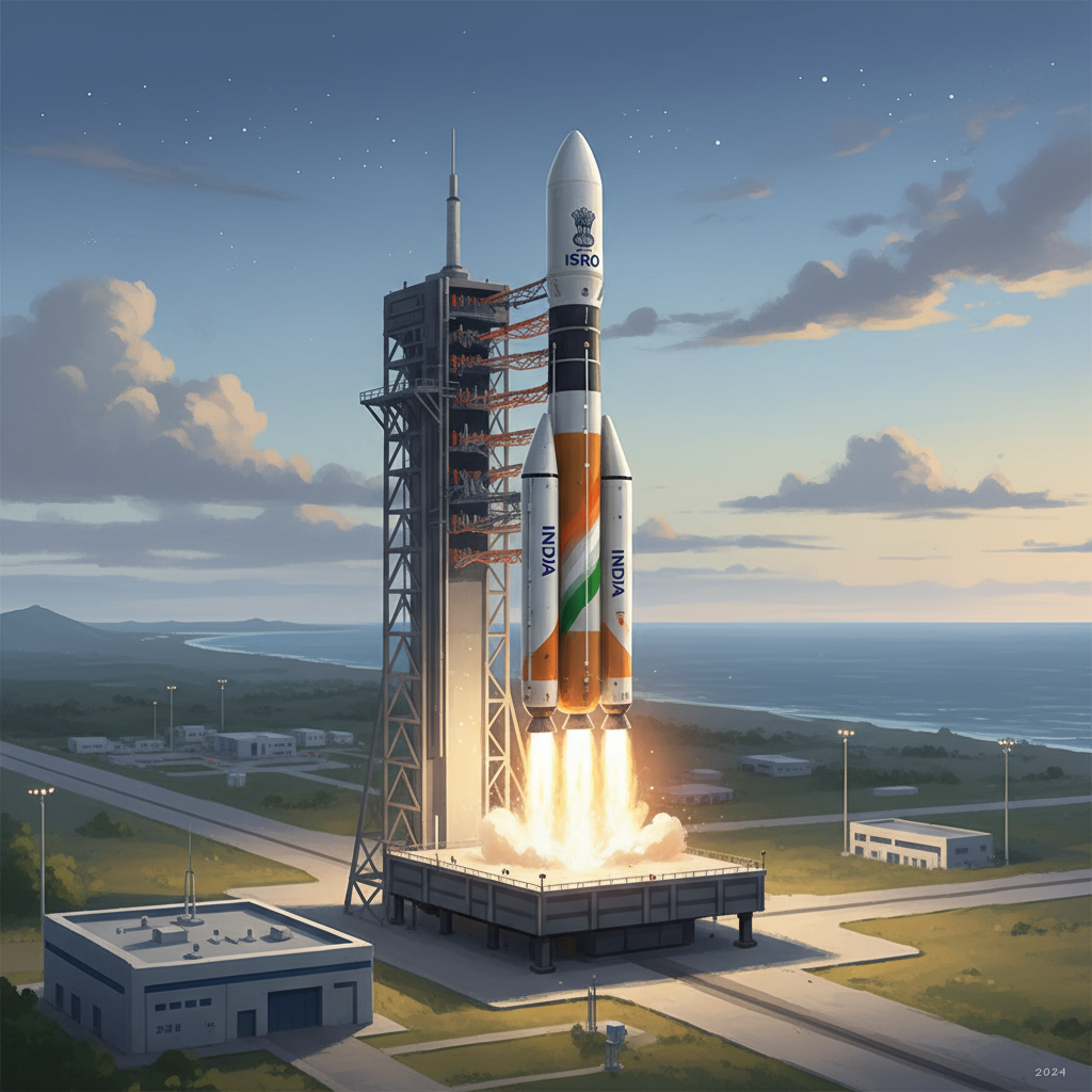
Technical Specifications
Physical Characteristics:
- Mass: 4,400 kg (satellite weight in some sources: 2,650 kg)
- Launch vehicle: LVM3-M5 (India’s heavy-lift rocket; 5th operational flight)
- Orbit: Geosynchronous Transfer Orbit (GTO) initially; then geostationary (36,000 km)
- Mission life: 7 years
- Cost: ₹1,589 crore (Ministry of Defence funded)
- Launch date: November 2, 2025, 11:30 AM GMT from Satish Dhawan Space Centre, Sriharikota
Frequency Bands:
- UHF, S, C, Ku bands ensuring resilient voice, video, data communication
- Multi-band capability providing flexibility, redundancy
Coverage:
- Indian Ocean Region up to 2,000 km from coastline (some sources: 2,000 nautical miles)
- Continuous, secure communication coverage
Upgraded Capabilities
Enhanced Communication:
- More powerful amplifiers, sensitive receivers providing better capacity than GSAT-7
- Strong resistance to jamming, interference ensuring reliability in contested environments
- Supporting over 50 naval ships and aircraft simultaneously
Network-Centric Operations:
- Real-time links between warships, submarines, aircraft, shore-based command centers
- Commanders sending orders, sharing radar information, coordinating operations instantly without interception risk
- Seamless integration enabling different armed forces branches working together smoothly
Operational Functions:
- Surveillance and Reconnaissance: Real-time monitoring of vessel movements, threat detection
- Navigation: Precise positioning for mission coordination, weapons guidance
- Weather Monitoring: Meteorological observation supporting operational planning
- Blue-Water Operations: Extending secure communications beyond littoral waters enabling power projection
Strategic Significance: India’s Maritime Security Imperative
China’s Expanding Footprint
PLA Navy:
- World’s largest navy (350+ ships); aggressive presence in Indian Ocean Region
- Grey-zone tactics: Coercive actions below armed conflict threshold (intimidation, surveillance ships, submarine incursions)
String of Pearls:
- Gwadar (Pakistan), Hambantota (Sri Lanka), Djibouti bases encircling India
- China’s Belt and Road Initiative (BRI) expanding infrastructure control
India’s Response: Net Security Provider
Fourth-Largest Navy:
SAGAR Vision:
- Security and Growth for All in the Region: Cooperative, rules-based maritime order
- Net Security Provider: Ensuring freedom of navigation, assisting friendly navies
Operational Advantages:
Quick Decision-Making:
- Real-time communication enabling instant coordination, faster response to threats
- Commanders making informed decisions based on current intelligence
Force Multiplication:
- Integrating ships, submarines, aircraft into cohesive network magnifying collective effectiveness
- 10+ satellites continuously operating for strategic defense purposes (per ISRO Chairman V. Narayanan)
Reducing Foreign Dependence:
- Indigenous communication infrastructure reducing reliance on foreign services (e.g., Inmarsat)
- Strategic autonomy in safeguarding maritime interests
Mission Scenarios
- Anti-Piracy Patrols: Arabian Sea, Gulf of Aden operations; coordinating with international forces
- Disaster Relief: Cyclone, tsunami response; coordinating rescue missions across vast areas
- Shipping Lane Monitoring: Protecting sea lanes of communication (SLOCs) vital for trade, energy security
- Deterrence and Warfighting: Network-centric warfare capabilities in potential conflict scenarios
India’s Broader Defense Satellite Constellation
Existing Defense Satellites:
- GSAT-7 (Rukmini): Indian Navy; operational since 2013
- GSAT-7A: Indian Air Force; launched 2018
- GSAT-7B (Planned): Indian Army; future deployment
Surveillance Satellites:
- RISAT Series: RISAT-2, RISAT-2B, RISAT-2BR1, RISAT-2BR2 providing SAR imagery
- Cartosat Series: High-resolution optical imagery; Cartosat-3 launched 2019
- EMISAT: Electronic intelligence; launched 2019
Navigation:
- NavIC Constellation: 7 satellites (IRNSS series) providing regional navigation
- NVS-02: Second-generation launched January 2025—ISRO’s 100th mission milestone
Future Plans:
- Space-Based Surveillance-3: 52 ISR satellites by 2026
- IDRSS (Indian Data Relay Satellite System): Space-to-space communication
Challenges in Maritime Domain Awareness
Technological Limitations
AIS Vulnerabilities:
- Automatic Identification System can be turned off (“dark ships”)
- Fishing vessels, small boats often AIS-free
- 10-20 nautical mile VHF range limiting coastal monitoring
Detection Gaps:
- Thousands of small, unregistered vessels evading traditional monitoring
- 30% increase (in two years) in ships reporting false identities; 40% not reporting next port
Operational Challenges
Vast Maritime Domain:
- IOR’s immense size requiring persistent surveillance
- Weather conditions (monsoons, rough seas) affecting operations
Enemy Jamming:
- Communication disruption in contested environments
- CMS-03’s interference resistance addressing this
Resource Constraints
Satellite Capacity:
- Limited number of defense satellites vs. expanding requirements
- Space-Based Surveillance-3 scheme addressing gap but ambitious timeline
Financial:
ISRO’s Evolving Role: Civil to Strategic Space Power
Evolution:
- Established 1969; initial focus on developmental applications (communication, meteorology, remote sensing)
- Gradual shift incorporating defense, strategic requirements
Civil-Military Synergy:
- Dual-use satellites serving civilian and military purposes
- Cartosat imagery for mapping, disaster management, defense surveillance
Cost-Effective Innovation:
- ISRO’s frugal engineering delivering capabilities at fraction of Western costs
- LVM3 rocket indigenously developed; commercial launch capacity
Recent Milestones:
- NISAR (NASA-ISRO Synthetic Aperture Radar): Launched July 30, 2025; calibration phase; operational within 10-15 days
- Chandrayaan-3 (July 2023): India first country to land successfully near lunar south pole—previous LVM3 mission
- Commercial Capabilities: Post-CMS-03, December 2025 LVM-3 mission deploying BlueBird-6 (6.5-tonne U.S. commercial satellite)
Policy Recommendations: Way Forward
1. Expanding Space-Based MDA
- Accelerate Space-Based Surveillance-3: Deploy 52 ISR satellites by 2026 as planned
- LEO Constellation: Supplement geostationary satellites with Low Earth Orbit constellations for higher temporal resolution
- AI Integration: Invest in AI/ML for automated threat detection, dark ship identification
2. Strengthening Ground Infrastructure
- CSN Expansion: Increase static radar stations beyond current 46; cover remote islands
- IMAC Enhancement: Boost data fusion capabilities; real-time analysis, predictive modeling
3. Regional Cooperation
- Information Sharing: Formalize agreements with friendly navies (Quad, Indian Ocean Naval Symposium)
- Capacity Building: Assist friendly nations (Maldives, Seychelles, Mauritius) developing own MDA capabilities
4. Indigenization and Self-Reliance
- Atmanirbhar Bharat: Indigenous satellite, sensor, data analytics development
- Private Sector Engagement: Leverage Indian space startups for small satellite constellations
5. Doctrine and Training
- Network-Centric Warfare: Integrate space-based assets into naval doctrine
- Joint Operations: Army, Navy, Air Force coordinated operations using shared space assets
Conclusion: India’s Eye Over the Seas
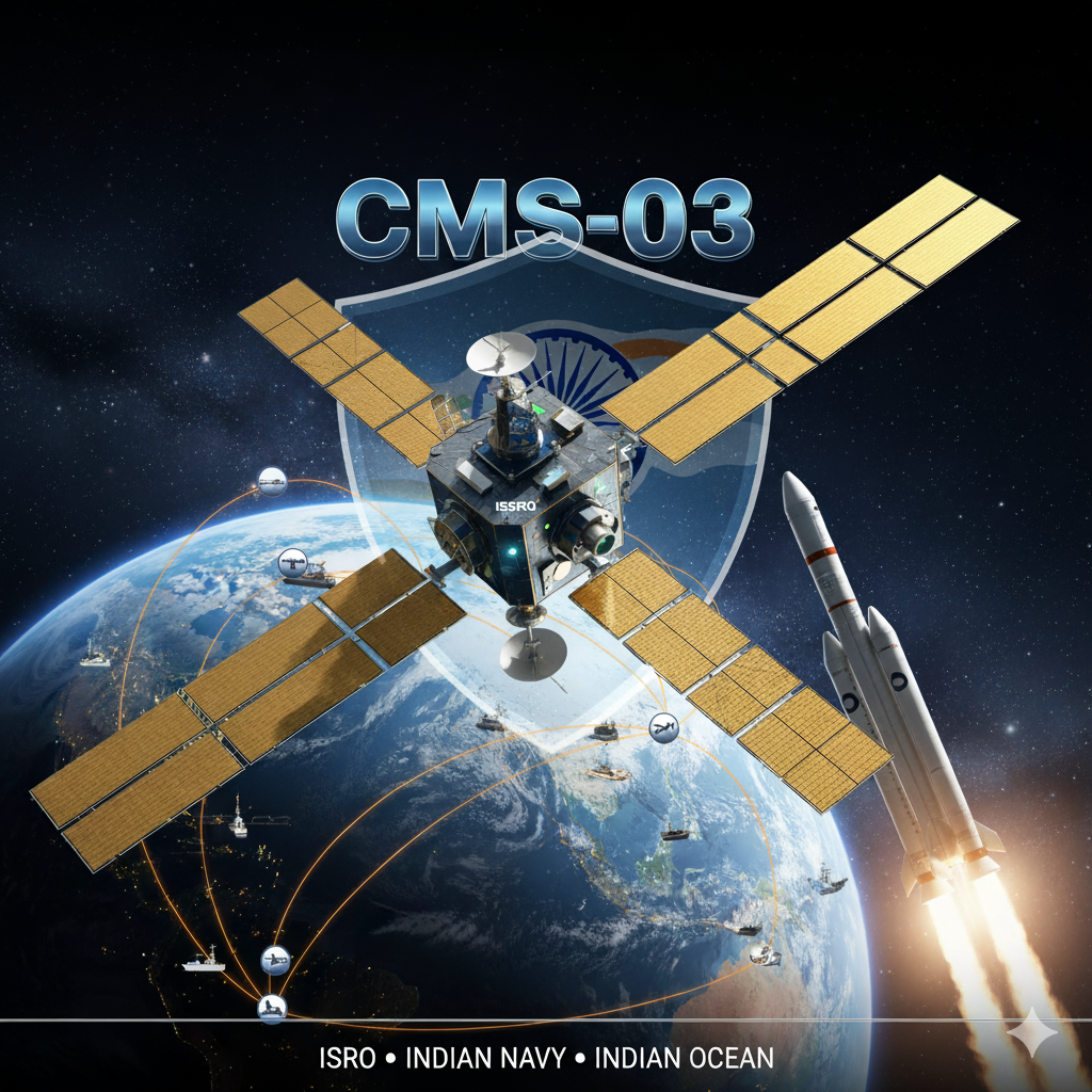
On November 2, 2025, as LVM3-M5 roars skyward from Sriharikota carrying CMS-03 (GSAT-7R), India takes a giant leap in maritime security. This ₹1,589 crore, 4,400 kg strategic asset isn’t just replacing the aging GSAT-7—it’s redefining India’s naval warfare capabilities.
With multi-band communications (UHF, S, C, Ku), 50+ simultaneous connections, enhanced jamming resistance, and 2,000 nautical mile coverage, CMS-03 transforms the Indian Navy into a network-centric force capable of projecting power across the entire Indian Ocean Region.
Strategic context makes this launch critical: China’s 350+ ship PLA Navy, “String of Pearls” encirclement, grey-zone tactics, and aggressive Indian Ocean posturing demand India maintain information superiority. CMS-03 delivers that edge—enabling real-time coordination, instant decision-making, force multiplication.
Maritime Domain Awareness philosophy is simple yet profound: “Without understanding maritime domain, one cannot protect it from innumerable threats”. India’s multi-layered MDA architecture—46 coastal radars, 52 ISR satellites (by 2026), RISAT/Cartosat imagery, IMAC data fusion tracking 30,000-40,000 ships—creates comprehensive situational awareness.
ISRO’s evolution from civil space agency to strategic defense partner is evident: 10+ satellites continuously operating for national security, 100th mission milestone (NVS-02), commercial prowess (BlueBird-6), and international collaborations (NISAR).
Challenges persist: Dark ships evading AIS, vast surveillance domain, resource constraints, regional cooperation needs. But emerging technologies—AI-powered analysis, SAR imaging, satellite-AIS integration—offer solutions.
CMS-03 represents intersection of space technology, maritime strategy, Indo-Pacific geopolitics, and SAGAR vision. It’s force multiplier for Army, Navy, Air Force integrating modern defense operations with cutting-edge space technology.
Ultimate goal: Comprehensive Maritime Domain Awareness enabling India as credible Net Security Provider in Indian Ocean Region. CMS-03 isn’t merely satellite—it’s symbol of India’s rising maritime power, technological prowess, strategic vision in Indo-Pacific century.
As India’s naval assets patrol from Arabian Sea to Bay of Bengal, from Gulf of Aden to Strait of Malacca, CMS-03 will be their eyes, ears, and voice—ensuring that when threats emerge, India responds swiftly, decisively, dominantly.







+ There are no comments
Add yours