
Key Highlights
✅ Crisis Scale: India faces severe water stress with 65% of reservoirs reporting below-normal levels and urban demand set to exceed supply by 50% by 2030—affecting 600 million people in water-stressed conditions
✅ Digital Infrastructure: 5,260 Digital Water Level Recorders (DWLRs) deployed by CGWB providing real-time groundwater monitoring, while India-WRIS serves as national single-window water information system
✅ Technology Impact: GIS-enabled leak detection and smart monitoring reducing Non-Revenue Water (NRW) losses by 25-30% in pilot projects, down from the national average of 38-50%
✅ Mission Scale: Jal Jeevan Mission using IoT, SCADA, and GIS mapping achieved 79.74% rural tap water coverage (15.44 crore households) by 2025, up from 16.8% in 2019
✅ Smart Governance: Integration of PM Gati Shakti with water infrastructure enabling precise mapping, real-time monitoring, and data-driven decision-making transforming water governance
From Dying Reservoirs to Digital Renaissance
Picture this alarming scenario: 21 major Indian cities including Delhi, Bengaluru, Chennai, and Hyderabad running out of groundwater by 2030. In June 2019, a staggering 65% of all reservoirs in India reported below-normal water levels, with 12% completely dry. India—home to 18% of the world’s population but possessing only 4% of global water resources—faces an unprecedented water crisis threatening its economic growth, food security, and social stability.
But here’s the transformation story that’s changing everything: Digital innovation and Geographic Information Systems (GIS) are emerging as game-changing solutions, turning data into decisions, sensors into solutions, and governance gaps into smart management systems.
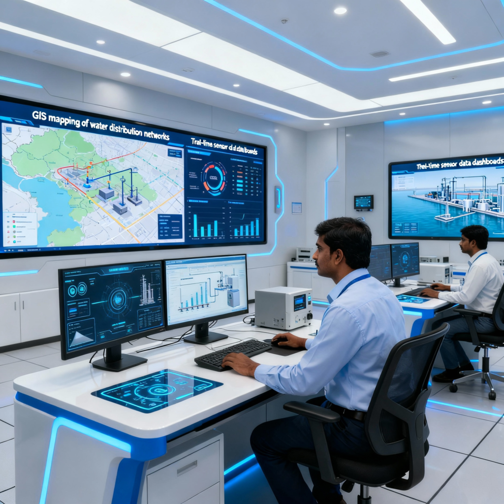
Enter the India Water Resources Information System (India-WRIS)—a revolutionary platform that provides real-time nationwide water data through a single window. Managed by the National Water Informatics Centre (NWIC), this system integrates satellite imagery, ground sensors, and advanced analytics to monitor everything from groundwater levels to reservoir storage to water quality.
The numbers tell a compelling story: Urban areas implementing GIS-based water management are reducing Non-Revenue Water (NRW) losses by 25-30%—a massive improvement from India’s average NRW of 38% (with cities like Kolkata and Bengaluru experiencing 50% losses).
This digital transformation exemplifies critical themes across papers: smart governance, technology-driven development, sustainable resource management, public administration reforms, and the intersection of environmental challenges with innovative solutions.
The Water Crisis Reality Check
Quantitative Nightmare
India’s water statistics paint a sobering picture: icfs.org
Scarcity Indicators:
- 600 million Indians face high-to-extreme water stress annually
- 200,000 deaths occur yearly due to inadequate safe drinking water
- 21 major cities expected to run out of groundwater by 2030
- India ranked 120 out of 122 countries in water quality index (NITI Aayog 2019)
Supply-Demand Mismatch:
- Current water availability: 1,123 billion cubic meters annually
- Current demand: 750 billion cubic meters
- 2050 projected demand: 1,180 billion cubic meters
- Water demand will exceed supply by 70% by 2025 (NITI Aayog projection)
Infrastructure Losses:
- Non-Revenue Water (NRW): 38-50% of treated water lost through leakage, theft, inefficient distribution
- 84% of rural households lack piped water access (pre-JJM)
- 70% of water supply contaminated; 75% of households lack clean drinking water access
Economic and Social Impact
GDP Threat: India could lose up to 6% of GDP by 2030 due to water scarcity, with agriculture bearing the brunt followed by water-intensive industries
Migration Crisis: 39.5% urban and 67.5% rural migration driven by water scarcity, with potential for mass displacement as crisis deepens
Regional Disparities: Uneven rainfall distribution creating surplus and deficit regions requiring integrated basin management
Understanding GIS: The Game-Changing Technology
Core Components of Geospatial Ecosystem
Geographic Information Systems (GIS) integrate hardware, software, data, and analytical methods for capturing, storing, analyzing, and visualizing spatial data related to Earth’s features and water processes. sgligis indiawaterweek
Remote Sensing (RS):
- Satellite platforms: Landsat, ALOS PALSAR, GRACE, upcoming NISAR
- Real-time data on water bodies, land use, vegetation, soil moisture
- Change detection for water body encroachment and degradation monitoring
GPS and CORS Networks:
- Continuously Operating Reference Stations enabling precise location tracking
- Asset mapping for groundwater wells, distribution networks, treatment plants
Digital Elevation Models (DEM):
- 3D terrain representation crucial for watershed delineation, drainage mapping, runoff modeling
- Flood inundation modeling and evacuation planning
Integration with Emerging Technologies:
Artificial Intelligence & Machine Learning:
- Predictive analytics for demand forecasting, leak detection, water quality prediction
- Pattern recognition in large hydromet datasets identifying anomalies
Internet of Things (IoT):
- Smart sensors and meters for real-time monitoring of water levels, flow rates, quality parameters
- SCADA systems for automated control of distribution networks
Digital Twins:
- Virtual replicas of physical water systems enabling simulation, scenario analysis, impact assessment
- Real-time synchronization between physical and digital infrastructure
National Digital Water Infrastructure
India-WRIS: The Single Window Solution
The India Water Resources Information System represents India’s most ambitious attempt to create a centralized, comprehensive water data platform. pib.gov esri
Managed by: National Water Informatics Centre (NWIC), Ministry of Jal Shakti
Launch Timeline:
- 2008: First initiative through CWC-NRSC collaboration
- 2019: Revamped version launched (July 30, 2019)
- 2020: Enhanced features added with new functionalities
Architecture:
- 12 major info systems
- 36 sub info systems
- 95 spatial layers classified under 5 major groups
- Real-time data integration from central and state agencies (CWC, CGWB, IMD, NRSC)
Key Features:
Comprehensive Data Coverage:
- Basin, sub-basin, watershed mapping
- River networks, water bodies inventory
- Dam, barrage, canal networks with attribute data
- 5-100 years of historical data depending on theme
Real-Time Monitoring Dashboards:
- Rainfall patterns and intensity
- River water levels and discharge
- Groundwater levels (25,000+ monitoring stations)
- Reservoir storage and capacity utilization
- Evapotranspiration and soil moisture
- Water quality parameters
Advanced Analytical Tools:
- Automatic map generation for area-specific requirements
- Customized report generation module
- GIS layer editing capabilities for state agencies
- Data download functionality for researchers and planners
Digital Water Level Recorders (DWLR): Groundwater Revolution
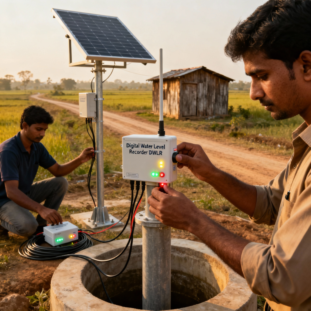
CGWB’s DWLR Network represents a quantum leap in groundwater monitoring capability: cgwb
Current Deployment: 5,260 DWLRs under National Hydrology Project with six-hourly automated data transmission
Expansion Plans:
- 7,000 piezometers under PIB project (by 2026)
- 2,000 additional piezometers under GWMR Scheme
- 5,412 piezometers and 6,286 DWLRs under Atal Bhujal Yojana (water-stressed areas in 7 states)
Technical Specifications:
- Pressure/Float sensors for accurate water level detection
- Telemetry systems (GPRS/GSM) for real-time data transmission
- Battery/Solar power options for remote area deployment
- Data logging capacity: Several years of continuous operation
- Accuracy: Millimeter-level precision in water level measurement
Impact: Real-time groundwater monitoring replacing manual quarterly measurements, enabling early warning systems for aquifer depletion and data-driven groundwater management
Jal Jeevan Mission: Digital Transformation at Scale
Technology-Driven Rural Water Supply
The Jal Jeevan Mission (JJM)—India’s flagship program for universal rural water access—demonstrates how digital innovation can achieve massive social impact at unprecedented speed.
Transformation Scale:
- From 16.8% (3.23 crore households) in 2019
- To 79.74% (15.44 crore households) by February 2025
- Covering ~67% of India’s 19.4 crore rural households
Digital Platforms Integration:
JJM-IMIS (Integrated Management Information System):
- Comprehensive database of tap connections, schemes, expenditure, financing
- Village-level granularity for monitoring and planning
- Real-time progress tracking enabling course correction
IoT-Based Smart Monitoring:
- Sensor deployment in 6+ lakh villages for water supply measurement
- Flow meters, pressure sensors, chlorine analyzers ensuring quality and quantity
- Pump controllers optimizing energy consumption and reliability
SCADA Integration:
- Supervisory Control and Data Acquisition systems for 24×7 automated monitoring
- Volumetric measurement ensuring equitable water distribution
- Fault detection and predictive maintenance reducing downtime
PM Gati Shakti Integration:
- GIS mapping of all drinking water assets on national platform
- Convergence with roads, power, telecom infrastructure planning
- Granular monitoring at household level with unique scheme IDs
IoT Pilot Success Stories
Tata Community Initiatives Trust (TCIT) Collaboration:
Coverage: Remote villages across 5 states (Himachal Pradesh, Uttarakhand, Rajasthan, Gujarat, Maharashtra)
Sensor Deployment:
- Flow meters for water quantity measurement
- Groundwater level sensors monitoring source sustainability
- Chlorine analyzers ensuring water quality
- Pressure sensors optimizing distribution efficiency
Impact Metrics:
- Cost efficiency: <10-15% of total scheme capex for complete monitoring solution
- Operational gains: Real-time fault detection, automated alerts, optimized maintenance
- Transparency: Citizens can access real-time water availability data
- Grievance redressal: Faster response to supply disruptions
Scalability: Frugal yet sturdy sensors making solution viable for 6+ lakh villages nationwide
GIS Applications Transforming Water Management
Watershed and Basin Management
Morphometric Analysis:
- Quantitative assessment of drainage networks, relief, shape, texture informing watershed dynamics
- Prioritization of watersheds for conservation interventions based on erosion susceptibility
- Multi-criteria analysis integrating geology, geomorphology, slope, land use for comprehensive planning
Case Study: Raghunathapalli Watershed, Telangana
- Micro-watershed water balance studies guiding recharge structure placement
- High-resolution imagery mapping existing structures and identifying optimal new locations
- Geospatial technologies creating comprehensive water resource development action plan
Urban Water Distribution Optimization
Network Mapping and Asset Management:
- Digital database of distribution systems: pipes, valves, pumps, tanks with attribute information
- Asset lifecycle management enabling predictive maintenance scheduling
- Network expansion planning based on spatial demand analysis
Hydraulic Modeling Integration:
- EPANET integration with GIS simulating network performance under various scenarios
- Pressure optimization ensuring service reliability while minimizing energy costs
- Supply-demand gap analysis informing infrastructure investments
Case Study: Dehradun City Water Distribution
- Comprehensive spatial database of 564 km distribution network
- EPANET hydraulic modeling analyzing system reliability in current and future scenarios
- Supply-demand gap analysis informing expansion planning and optimization strategies
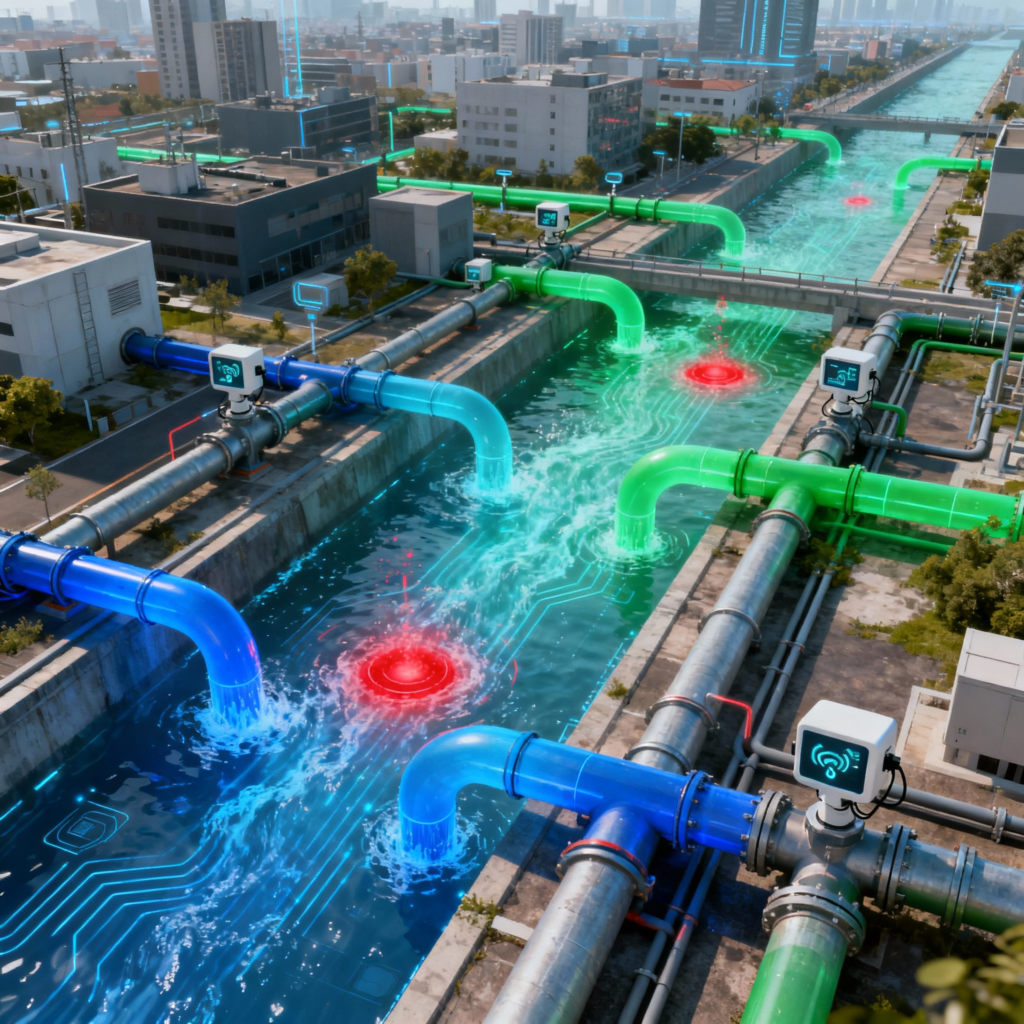
Smart Leak Detection and NRW Reduction
AI-Based Analytics:
- Machine learning algorithms identifying anomalies in flow patterns indicating leakage
- Acoustic sensors detecting pipe bursts and joint failures
- Pressure monitoring revealing distribution inefficiencies
Targeting High-Loss Zones:
- Spatial analysis identifying areas with maximum NRW concentration
- Priority intervention mapping optimizing repair crew deployment
- Before-after comparison measuring intervention effectiveness
Results: Pilot cities achieving 25-30% NRW reduction through GIS-enabled leak detection compared to national average of 38-50% losses
Groundwater Management Revolution
Aquifer Mapping and Management
National Aquifer Mapping and Management Programme (NAQUIM):
- Delineating aquifer boundaries and assessing storage capacity
- Recharge potential mapping identifying optimal locations for artificial recharge
- Multi-criteria GIS analysis integrating geological, geomorphological, hydrological data
Potential Zone Identification:
- Groundwater prospect mapping using remote sensing and GIS
- Field validation through exploratory drilling and hydrogeological surveys
- Success rate improvement in water well construction reducing costs
Real-Time Monitoring Network:
- 25,000+ monitoring stations providing quarterly groundwater level data
- 5,260 DWLRs with telemetry enabling six-hourly automated monitoring
- Trend analysis identifying critical and over-exploited areas requiring intervention
Recharge Structure Planning
Site Selection Optimization:
- Runoff potential assessment using DEM and rainfall data
- Soil permeability mapping determining infiltration capacity
- Proximity analysis to demand centers and existing infrastructure
Impact Assessment:
- Before-after analysis of groundwater levels post-intervention
- Cost-benefit evaluation of different recharge structure types
- Scaling strategies for maximum regional impact
Water Quality Monitoring and Management
Spatial Distribution Analysis
Water Quality Index (WQI) Mapping:
- Composite index calculation assessing suitability for drinking, irrigation
- Spatial interpolation of point-source data creating comprehensive quality maps
- Contamination source identification through pollution plume mapping
Multi-Parameter Integration:
- Physico-chemical parameters: pH, TDS, fluoride, arsenic, iron
- Microbiological indicators: E.coli, coliform bacteria
- Heavy metals: Lead, mercury, chromium concentrations
Priority Intervention Mapping:
- Vulnerable area identification requiring immediate treatment intervention
- Treatment technology selection based on contamination type and concentration
- Infrastructure planning for water treatment plants and distribution systems
Real-Time Quality Monitoring
Sensor Network Deployment:
- Automated water quality monitoring stations at key locations
- Multi-parameter probes measuring pH, dissolved oxygen, turbidity, chlorine residual
- Telemetry systems providing real-time alerts for quality violations
Laboratory Integration:
- 6,000+ water testing laboratories created under Jal Jeevan Mission
- NABL accreditation ensuring quality testing standards
- Digital reporting systems linking field testing with central databases
Climate Resilience and Disaster Management
Flood Forecasting and Early Warning
Inundation Modeling:
- DEM-based simulation of flood extents under different rainfall scenarios
- Real-time rainfall integration with hydrological models for accurate forecasting
- Evacuation planning and emergency response optimization
Drought Risk Assessment:
- Multi-indicator analysis: rainfall deficiency, soil moisture, groundwater levels, vegetation indices
- Agricultural vulnerability mapping identifying crop areas at maximum risk
- Contingency planning for drought relief measures and water allocation
Rainwater Harvesting Optimization
Site Selection Analysis:
- Runoff coefficient calculation based on land use and soil characteristics
- Storage capacity optimization balancing cost and water collection potential
- Community participation mapping ensuring social acceptance and maintenance
Impact Monitoring:
- Groundwater level improvement post-rainwater harvesting implementation
- Cost-effectiveness analysis of different harvesting technologies
- Scaling potential assessment for regional water security enhancement
Success Stories and Impact Assessment
Digital Twin Implementation: Satara District Framework
Integrated Technology Deployment:
- AI, GIS, and digital twin technology for groundwater sustainability
- Predictive modeling and simulation for water resource management
- Community engagement platforms addressing village-level water conflicts
Scalable Smart Management:
- Semi-arid region model replicable across similar climatic zones
- Real-time decision support for water allocation and usage optimization
- Conflict resolution mechanism through transparent data sharing
Punjab WRIS: State-Level Implementation
Comprehensive Information System:
- Web-enabled platform using open-source software (MS4W, pmapper)
- Multi-layer integration: drainage, roads, water quality, groundwater levels
- Unconstrained aquifer depletion management through data-driven interventions
Stakeholder Accessibility:
- Public access to water resource information
- Planning support for local governments and water managers
- Research facilitation for academic and policy institutions
Jalnet: Smart Rural Water Supply System
Mobile-Focused Platform:
- Real-time asset monitoring using GIS technology for Jal Jeevan Mission implementation
- Digital billing and payment systems improving revenue collection
- Consumable inventory management optimizing operational efficiency
Rural Accessibility:
- Offline functionality enabling remote area monitoring without continuous connectivity
- User-friendly interface suitable for village-level water committee operations
- Maintenance scheduling and fault reporting systems
Challenges and Implementation Barriers
Technological Constraints
Data Quality Issues:
- Inconsistent spatial and temporal coverage affecting analytical accuracy
- Data silos across departments hindering integration
- Outdated datasets reducing real-time decision-making effectiveness
Infrastructure Gaps:
- Limited telemetry networks in rural and remote areas
- Inadequate internet connectivity for real-time systems operation
- Aging distribution networks requiring extensive digitization
Technical Capacity Deficit:
- Shortage of GIS-trained personnel in government departments
- Limited awareness among decision-makers about technology potential
- Training and capacity building needs across all governance levels
Institutional and Governance Challenges
Fragmented Responsibilities:
- Water management across multiple ministries (Jal Shakti, Agriculture, Urban Development, Environment)
- State-level variations in institutional arrangements and implementation capacity
- Coordination challenges between central, state, and local government agencies
Policy and Regulatory Gaps:
- Lack of mandatory GIS adoption standards across states
- Inadequate regulatory frameworks for data sharing and interoperability
- Resistance to change and preference for traditional methods
Financial and Resource Constraints
High Upfront Investment:
- GIS infrastructure, sensors, and software requiring substantial capital investment
- Maintenance costs for continuous operations and system upgrades
- Limited budgetary allocations in financially weak municipalities and rural areas
Sustainability Concerns:
- Revenue models for long-term system maintenance and operation
- Cost recovery mechanisms from improved service delivery
- Public-private partnership frameworks for sustainable financing
Way Forward: Policy Recommendations for Smart Water Governance
Strengthening Data Infrastructure
National Water Data Grid:
- Comprehensive, real-time, open-access platform integrating central and state agencies
- Standardized data formats and APIs enabling seamless interoperability
- Quality control mechanisms ensuring data accuracy and reliability
Remote Sensing Investment:
- Leverage NISAR (NASA-ISRO SAR mission) for enhanced groundwater monitoring capabilities
- Expand satellite constellation for high-resolution, frequent imaging of water resources
- AI-powered satellite data analysis for automated change detection and alerts
Sensor Network Expansion:
- Scale up DWLR network beyond current 5,260 stations to achieve comprehensive coverage
- IoT sensors for water quality, flow measurement in distribution networks
- Integrated monitoring of surface water, groundwater, and water quality parameters
Capacity Building and Human Resource Development
Mandatory Training Programs:
- GIS training for all water department personnel at central, state, and local levels
- University partnerships for specialized courses in hydro-informatics and water management
- Continuous learning through workshops, mentoring, and knowledge exchange programs
Research and Innovation Ecosystem:
- Dedicated R&D funding for indigenous geospatial solutions and water technologies
- Academic-industry-government collaborations fostering innovation and technology transfer
- Innovation labs and technology incubators focusing on water sector solutions
Institutional Reforms and Governance Enhancement
Integrated Water Resources Management (IWRM):
- Unified governance framework coordinating across sectors and administrative levels
- River Basin Organizations empowered with GIS-based decision support systems
- Cross-sectoral coordination mechanisms ensuring holistic water management
Regulatory Mandates:
- Mandatory GIS-based water resource plans for all states and urban local bodies
- Smart metering requirements in urban areas above specified population thresholds
- Performance benchmarks linking technology adoption with resource allocation
Financial Mechanisms and Sustainability
Technology Financing:
- Increased allocation for geospatial technologies under flagship missions (JJM, AMRUT, NHP)
- Technology sub-component mandatory in all water infrastructure projects
- Green bonds and climate financing for smart water infrastructure
Public-Private Partnerships:
- Concession models for smart water management systems leveraging private sector expertise
- Revenue sharing arrangements ensuring long-term sustainability and service quality
- Performance-based contracts with clear service level agreements and penalties
Community Engagement and Social Innovation
Mass Awareness Campaigns:
- Demonstrating success stories from pilot projects to build public support
- Community participation in GIS mapping and monitoring activities
- Digital literacy programs enabling effective use of smart water systems
Participatory GIS:
- Community-based monitoring and mapping involving local stakeholders
- Citizen science initiatives collecting local water data and reporting issues
- Transparent governance through public access to water data and performance metrics
Conclusion: The Digital Transformation Imperative
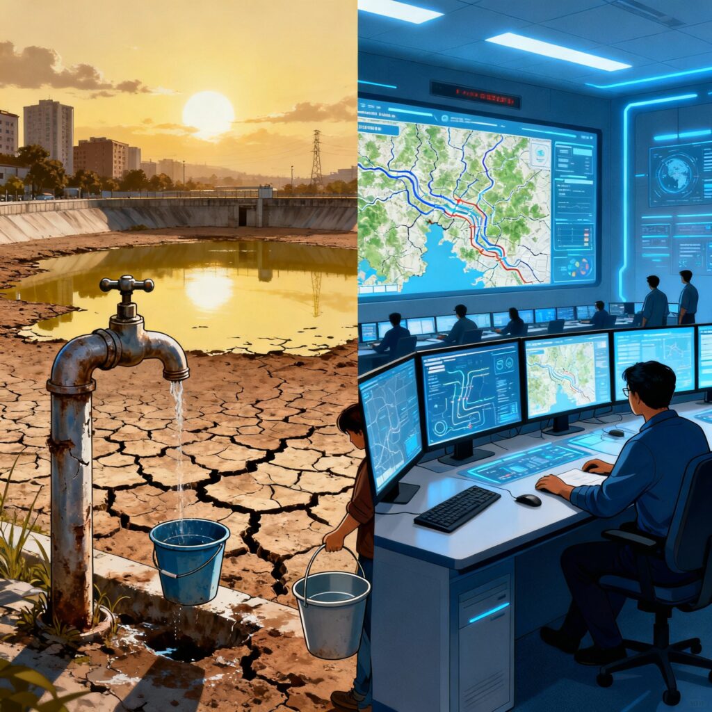
India’s water crisis—with 65% of reservoirs drying up and urban demand set to exceed supply by 50% by 2030—demands revolutionary solutions, not incremental fixes. The digital innovation and GIS revolution transforming India’s water governance offers precisely that revolutionary potential, turning data into decisions and technology into transformation.
The evidence is compelling: 5,260 Digital Water Level Recorders providing real-time groundwater monitoring, India-WRIS serving as a comprehensive single-window water information system, and IoT-enabled Jal Jeevan Mission achieving 79.74% rural tap water coverage—up from just 16.8% in 2019. Cities implementing GIS-based leak detection are reducing Non-Revenue Water losses by 25-30%, a dramatic improvement from the national average of 38-50%.
But challenges persist: data quality issues, infrastructure gaps, capacity deficits, institutional fragmentation, and financial constraints continue to limit the full potential of digital water management. The path forward requires comprehensive policy reforms, sustained investment, capacity building, and institutional coordination at unprecedented scale.
This digital water transformation exemplifies critical governance themes: technology-driven development, smart governance, sustainable resource management, public administration reforms, and the intersection of environmental challenges with innovative solutions. Questions will increasingly probe the role of GIS in water management, challenges in implementing digital governance, institutional coordination mechanisms, and policy frameworks for sustainable water security.
The National Water Informatics Centre’s vision—”to be a modern, state-of-art data repository facilitating informatics-based sustainable development of water resources”—captures the transformative potential of digital innovation. As Minister of Jal Shakti emphasized: “Modern technology is integral to water management and conservation; GIS, IoT, and SCADA are transforming the sector.”
The ultimate vision is clear: Water-secure India with equitable access, sustainable management, and climate resilience through technology-enabled governance. The digital tools are available. The institutional frameworks are evolving. The political commitment is evident through flagship missions and substantial investments.
The question isn’t whether digital innovation can solve India’s water crisis—it’s how quickly and comprehensively we can scale these solutions to reach every village, every city, every watershed, and every drop of this precious resource that sustains 1.4 billion lives.
The revolution has begun. The transformation is underway. India’s water future will be digital—or it may not be secure at all.





+ There are no comments
Add yours