Flooding is one of the most devastating natural disasters affecting India, particularly in regions such as Bihar, Uttar Pradesh, and Kolkata. The increasing frequency and severity of floods due to climate change and erratic monsoons make water management a top priority.
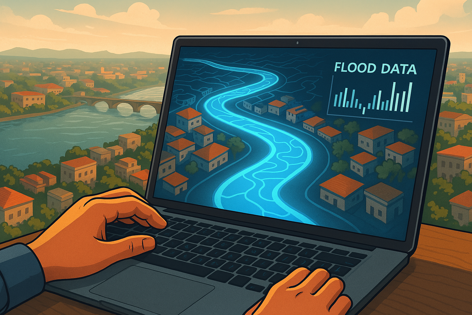
A promising solution is the creation of a vast digital twin of major rivers. By combining real-time data on weather, water flow, and energy demand, a 3D model of the river basin can enable authorities and researchers to predict and manage flood risks more effectively. This blog explores how digital twin technology can revolutionize flood prevention and mitigation in India.
What is a Digital Twin?
A digital twin is a virtual replica of a physical entity, built using real-time data, simulations, and artificial intelligence (AI). In the case of river basins, it means creating a high-fidelity digital model that reflects actual river behavior, integrating information from satellites, IoT sensors, and hydrological models.
The digital twin of a river would simulate water movement, predict flooding events, and help decision-makers implement timely interventions. This technology has been successfully used in various industries, including aviation, urban planning, and environmental conservation.
The Need for a Digital Twin of Indian Rivers
India experiences recurring floods that cause massive destruction of life and property. The following factors highlight the urgency for advanced flood management systems:
- Unpredictable Monsoons – Climate change has intensified rainfall patterns, making flood forecasting challenging.
- Inadequate Drainage Systems – Many cities and rural areas lack proper drainage infrastructure.
- Encroachments and River Pollution – Unregulated construction on riverbanks and sedimentation exacerbate flooding risks.
- Data Gaps in Flood Forecasting – Current flood warning systems often fail to provide real-time updates or high-precision predictions.
A digital twin can address these issues by offering a proactive, data-driven approach to flood management.
How a Digital Twin of a River Works
Creating a digital twin of a river involves integrating several technological components:
1. Real-time Data Collection
- Satellite Imagery: Provides updates on water levels and land use changes.
- IoT Sensors: Installed at multiple points along the river to measure flow rate, temperature, and pollution levels.
- Weather Data: Collected from meteorological agencies to track precipitation trends.
2. AI and Machine Learning Models
- Predicts flood-prone areas based on historical data and real-time inputs.
- Improves flood forecasts through deep learning algorithms that analyze vast amounts of data.
3. 3D Visualization and Simulation
- Creates an interactive model of the river and surrounding areas.
- Simulates different flood scenarios, allowing authorities to prepare in advance.
4. Real-time Decision Making
- Notifies disaster management teams of impending floods.
- Recommends optimal water discharge levels from dams to prevent overflow.
- Helps in urban planning and infrastructure development to mitigate risks.
Benefits of a River Digital Twin for Flood Management
1. Early Warning Systems
With real-time data integration, a digital twin can provide accurate flood warnings, giving residents and authorities time to take preventive measures.
2. Smarter Water Management
By simulating river behavior, authorities can optimize dam operations, ensuring controlled water release and reducing flood risks.
3. Infrastructure Planning
Governments and city planners can design flood-resistant infrastructure, preventing encroachments in high-risk zones.
4. Disaster Response and Relief
During a flood, digital twin technology can guide emergency response teams on the safest evacuation routes and resource distribution.
5. Sustainable River Conservation
A digital twin can also monitor river pollution levels and identify critical areas needing conservation efforts.
Challenges in Implementing a River Digital Twin
While the benefits are immense, creating and maintaining a digital twin of Indian rivers comes with challenges:
- High Initial Costs – Developing a sophisticated 3D model requires significant investment in hardware, software, and expertise.
- Data Collection and Integration – Aggregating real-time data from multiple sources is a complex task.
- Technological Barriers – India needs advanced computing infrastructure to process and store vast amounts of river data.
- Policy and Regulation – Government agencies must coordinate to establish guidelines for data sharing and digital twin deployment.
Despite these hurdles, digital twin technology remains a viable long-term solution for flood prevention and water management.
Global Examples of Digital Twin Applications in Flood Prevention
Several countries have already adopted digital twin technology for flood management:
1. Netherlands – The Digital Delta Project
The Netherlands uses real-time data modeling to manage water levels and predict flooding, helping protect low-lying regions from sea-level rise.
2. United Kingdom – Thames Digital Twin
A digital twin of the Thames River helps optimize water flow, reduce pollution, and prevent urban flooding in London.
3. United States – Smart River Basins
Projects in Mississippi and California integrate digital twin technology for managing droughts and floods effectively.
India can learn from these implementations and customize digital twin solutions to suit its geographical and climatic needs.
Roadmap for Implementing a Digital Twin for Indian Rivers
To successfully create and implement a digital twin of the river system in India, the following steps must be undertaken:
- Government and Private Sector Collaboration – Encourage investments from public and private stakeholders.
- Data Infrastructure Development – Establish nationwide IoT sensor networks for continuous data collection.
- AI Integration and Research – Collaborate with academic institutions to refine AI-driven flood prediction models.
- Public Awareness and Training – Educate communities on using digital twin outputs for disaster preparedness.
- Policy Formulation – Develop regulations for data sharing and inter-agency coordination.
Conclusion
Flooding continues to be a major challenge in India, particularly in states like Bihar, Uttar Pradesh, and West Bengal. A digital twin of major rivers can revolutionize flood management by offering real-time insights, predictive capabilities, and enhanced disaster response mechanisms. While challenges exist, the long-term benefits far outweigh the initial costs, making this an investment in the country’s sustainable future.
By leveraging cutting-edge technology, India can take a proactive approach to flood prevention, protecting millions of lives and ensuring a more resilient infrastructure.
Also Read:
Top 10 Smart Water Management Companies in India – 2025


+ There are no comments
Add yours